
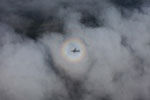
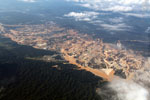
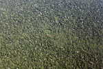
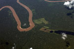
Pictures of aerial photography
Images of aerial photography. See more photos from Madagascar.


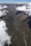

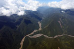
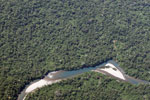

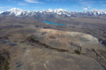


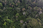


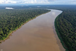


This photo collection of aerial photography is part of my library of 150,000-plus images. Other images may be available beyond those displayed on this page.
To find additional images, you can the Advanced search function at Mongabay to search by country, tag, country-tag combination, etc.