|
|
Panama Photos
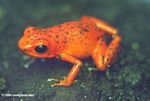
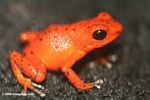
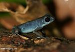
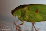
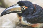
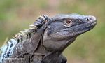
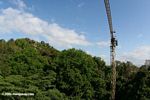
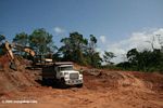
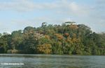
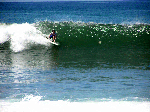
The page contains photos from several trips to Panama, including a 2004 surf trip in Chiriqui and subsequent visits to facilities operated by the Smithsonian Tropical Research Institute (STRI), one the world's leading tropical science organizations, in 2006 and 2011.
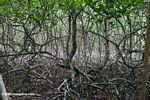
STRI has several facilities across Panama including their main campus in Panama City, NAOS at Punta Culebra, Canopy Access Systems in Panama City's Metropolitan Nature Park and the San Lorenzo Protected Area on the Caribbean coast, Barro Colorado Island in the Panama Canal, Gamboa on the Panama Canal, Galeta Point Marine Laboratory outside of the city of Colon, the Bocas del Toro Research Station near the border of Costa Rica, Fortuna Forest Reserve in Panama's western highlands, and Coiba Island in the Pacific.
Recommended travel guides on Panama:

Panama [Wikitravel]:
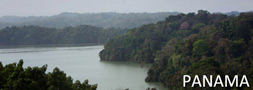
Panama is a country in Central America with coastlines on both the Caribbean Sea and the North Pacific Ocean, with Colombia to the southeast and Costa Rica to the northwest.
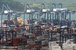
Panama is strategically location on the eastern end of isthmus that forms the land bridge connecting North and South America. It controls the Panama Canal that links North Atlantic Ocean via Caribbean Sea with North Pacific Ocean.
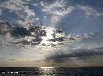
Chiriquí Province lies in the southwestern part of Panamá with its capital in David. Chiricanos are like the Texans of Panamá, and are loud, outgoing, and very proud of their province. However, they really seem to have something to be proud of. Chiriquí arguably has the friendliest people and the best landscape in Panamá.
The jagged, lush green mountains of Chiriquí rise to the top of Volcán Barú, Panamá's only volcano. The volcano lies in a national park, and the summit can be reached by hiking along a very rugged road. Supposedly both the Caribbean and Pacific are visible from the summit of the volcano, but clear days are difficult to come by. Your best chance for clear weather is in the middle of the Central American summer, January or February. Boquete and Cerro Punta both make good bases for visiting the park.
Chiriquí has beaches on the Pacific Ocean
- Hiking
- Rafting
- Surfing
- Birdwatching
all pictures
News on Panama
|