Places
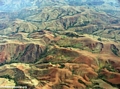
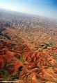
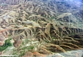
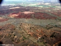
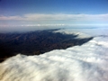
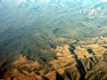
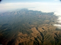
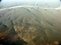
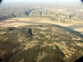
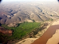
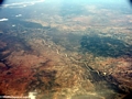
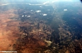
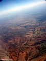
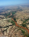
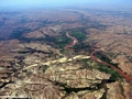
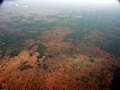
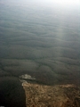
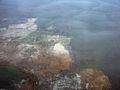
Aerial |
Andasibe |
Ankavandra |
Beaches |
Berenty |
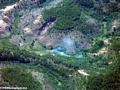
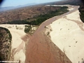
Canyons |
Canyons in Isalo |
Fort Dauphin-Tana |
Ifasina Antoetra |
Isalo |
Kirindy |
Manambolo |
Mantady |
Maroantsetra-Tamatave
Maroantsetra |
Masoala |
Morondava |
Nosy Mangabe |
Oly Canyon |
RN7 |
Rainforest |
Ranomafana |
Tana |
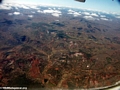
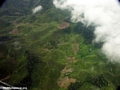
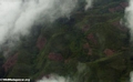
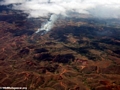
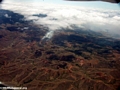
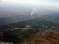
Tana flight |
Tsingy |
Tsingy de Bemaraha |
Tulear |
Villages
Wildlife
Birds |
Frogs |
Insects |
Invertebrates |
Lemurs |
Lizards |
Mammals |
Mantella |
Reptiles |
Wildlife
Plants
Baobabs |
Flora
Other
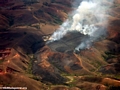
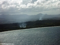
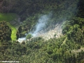
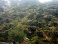
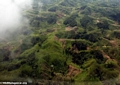
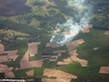
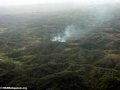
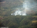
Deforestation |
Guides |
Malagasy Deforestation |
Rice |
Scenery |
Sisal |
Sunsets |
Tombs |
Zafimaniry
Back to Travel | mongabay.com | A Place Out of Time | Animals
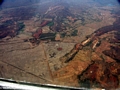
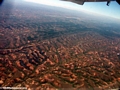
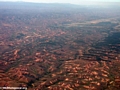
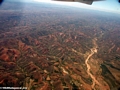
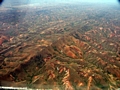
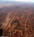
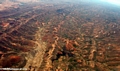
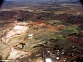
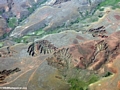
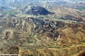
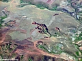
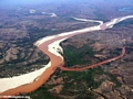
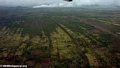
Madagascar, due to its isolation from the rest of the world, has tremendous biodiversity and high rates of endemic species: of over 200,000 known species found on Madagascar, about 150,000 exist nowhere else. Unique to the island are 32 species of lemurs [pictures] (there were once 48), 168 out of 170 species of frogs [pictures], and 33 species of tenrec, miniature hedgehog-like animals. However, it is one of the most threatened ecosystems on the planet. More than 80% of the forests are gone, half of them since the late 1950's, along with numerous unique species. The forests are disappearing primarily as a result of slash-and-burn agriculture ("tavy") for rice and cattle which form the backbone of the Malagasy economy. Each year, 772 square miles (2000 sq. km) are lost, a staggering amount considering the remaining forests (rainforest loss is estimated at 1.5% per year). The agricultural livelihood of the impoverished Malagasy people is further endangered by massive soil erosion which exceeds 400 tons of topsoil per hectare in some areas. continued
|