
|
HONDURAS: Copan | Pico Bonito | Cuero y Salado Refuge | Flora | Reptiles | Insects |
|
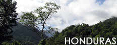
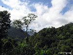
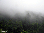
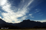
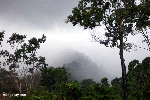
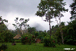
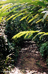
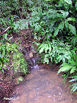
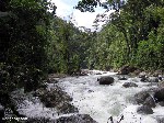
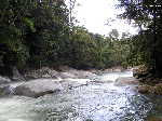
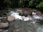
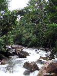
Pico Bonito, Honduras -- Photos
Parque Nacional Pico Bonito is the largest protected area in Honduras after the Rio Platano Biosphere Reserve. Spanning over 7800 feet (2400 meters) in elevation and capped by the 7900-foot-high (2435 m) Pico Bonito, the park ranges from humid tropical broadleaf forest to high cloud forests.The park is perhaps the best place in Honduras to see endangered wildlife and is well known for its spectacular waterfalls. Getting to Pico Bonito. Most travelers reach Pico Bonito by flying from San Pedro Sula (the commerical capital of Honduras) to La Ceiba. The park is just inland of La Ceiba. In 1987 the Honduran government decreed all land above 6,000 feet as park territory,
Recommended travel guides on Honduras: 
Conservation news from Honduras: |


what's new | rainforests | tropical fish | for kids | search | about | copyright & use | contact |
Copyright Rhett Butler 1994-2025 Pictures were taken by Rhett A. Butler, copyright 1994-2025. While these photos are the property of mongabay.com, it may be permissible to use them for non-commercial purposes (like powerpoint presentations and school projects), provided that the images are not altered in any form. Please read this for more details. If you are interested in using an image in a publication please contact me. Mongabay.com is a free resource. |